Data Requirment
List of key input
| Field/Variable | Unit | Value | Required/Optional |
|---|---|---|---|
| Work space | - | - | Required |
| Area of Interest | - | - | Required |
| Rainfall Depth | mm | 100 | Required |
| Land Use/ Land Cover | - | - | Required |
| Biophysical Table | - | - | Required |
| Soil Hydrologic Group | - | - | Required |
| Built Infrastructure | - | - | Optional |
| Damage Loss Table | USD $/m² | - | Required |
important
Values in this table are recommended values. You may need to adjust these values based on your district.
More details can be found here.
Shortcut
You can download all input here.
Visuals of key input
| Watersheds in the study area | 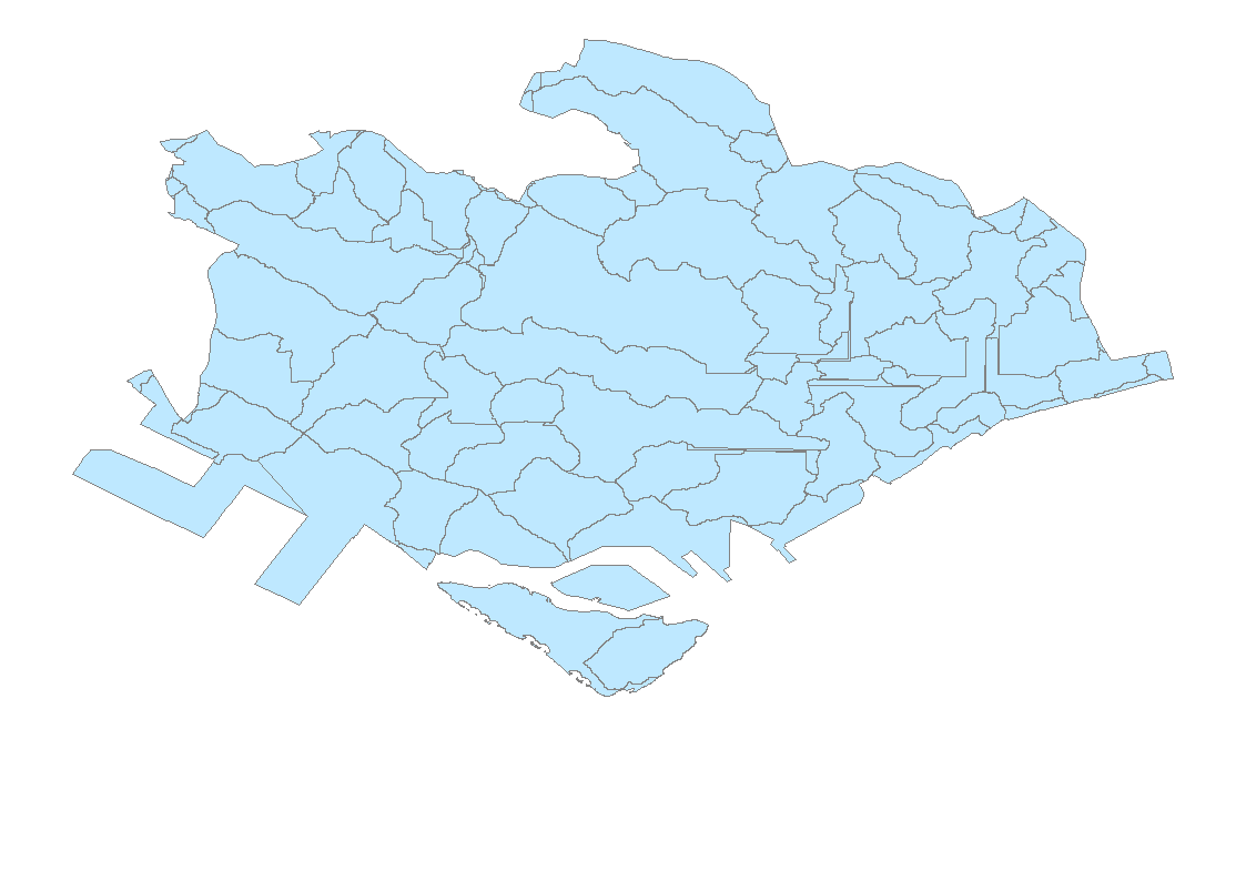 |
| Present land use |  |
| Changed land use |  |
| Soil types |  |
| Built infrastructure | 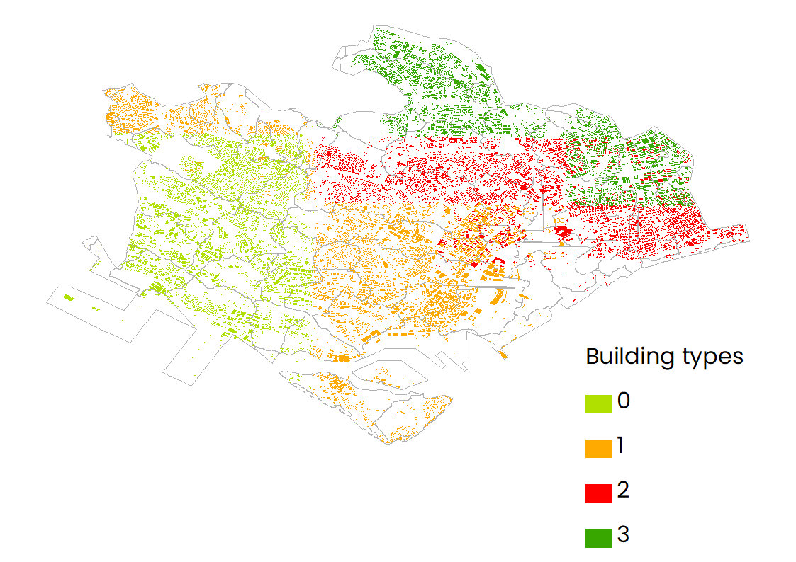 |
Other useful info
Land use table
| lucode (land use class) | Type |
|---|---|
| 2 | Urban districts |
| 6 | Cultivated land |
| 7 | Pature/hay |
| 8 | Grassland |
| 9 | Deciduous forest |
| 10 | Evergreen forest |
| 11 | Mixed forest |
| 21 | Water |
Biophysical table
| lucode | Description | NEH type (to define CN1) | CN_A | CN_B | CN_C | CN_D |
|---|---|---|---|---|---|---|
| 0 | Background | 1 | 1 | 1 | 1 | |
| 1 | Unclassified | 1 | 1 | 1 | 1 | |
| 2 | High Intentify Developed | Urban districts | 89 | 92 | 94 | 95 |
| 3 | Medium Intentify Developed | Res districits | 61 | 75 | 83 | 87 |
| 4 | Low Intentify Developed | 51 | 68 | 79 | 84 | |
| 5 | Open Space Developed | Open space | 49 | 69 | 79 | 84 |
| 6 | Cultivated land | Small grain | 63 | 75 | 83 | 87 |
| 7 | Pature/hay | 49 | 69 | 79 | 84 | |
| 8 | Grassland | 49 | 69 | 79 | 84 | |
| 9 | Deciduous forest | Woods | 36 | 60 | 73 | 79 |
| 10 | Evergreen forest | 36 | 60 | 73 | 79 | |
| 11 | Mixed forest | 36 | 60 | 73 | 79 | |
| 12 | Scrub/Shrub | 35 | 56 | 70 | 77 | |
| 13 | Palustrine Forest Wetland | 1 | 1 | 1 | 1 | |
| 14 | Palustrine Scrub/Shrub Wetland | 1 | 1 | 1 | 1 | |
| 15 | Palustrine Emergent Wetland | 1 | 1 | 1 | 1 | |
| 16 | Estuarine Forested Wetland | 1 | 1 | 1 | 1 | |
| 17 | Estuarine Scrub/Shrub Wetland | 1 | 1 | 1 | 1 | |
| 18 | Estuarine Emergent Wetland | 1 | 1 | 1 | 1 | |
| 19 | Unconsolidated Shore | 1 | 1 | 1 | 1 | |
| 20 | Bare Land | 77 | 86 | 91 | 94 | |
| 21 | Water | 1 | 1 | 1 | 1 | |
| 22 | Palustrine Acquatic Bed | 1 | 1 | 1 | 1 | |
| 23 | Estuarine Acquatic Bed | 1 | 1 | 1 | 1 | |
| 24 | Tundra | 1 | 1 | 1 | 1 | |
| 25 | Snow/Ice | 1 | 1 | 1 | 1 |
Damage loss table
| Building type | Damage2 [USD $/m²] |
|---|---|
| 0 | 0.000001 |
| 1 | 0.000002 |
| 2 | 0.000003 |
| 3 | 0.000004 |