Data Requirment
List of key input
| Field/Variable | Unit | Value | Required/Optional |
|---|---|---|---|
| Work space | - | - | Required |
| Area of Interest | - | - | Required |
| Model resolution | m | 100 | Required |
| Landmass | - | - | Required |
| Bathymetry | - | - | Required |
| Wavewatcth Ⅲ | - | - | Required |
| Maximum Fetch Distance | m | 30000 | Required |
| Habitats Table | - | - | Required |
| Continental Shelf Contour | - | - | Required |
| Digital Elevation Model (DEM) | - | - | Required |
| Elevation Averaging Radius | m | 2000 | Required |
| Geomorphology | - | - | Optional |
| Geomorphology Fill Value | - | 4 | Optional |
| Human Population | - | - | Optional |
| Population Search Radius | m | 100 | Optional |
| Sea Level Rise | - | - | Optional |
| Sea Level Rise Field | - | Value | Optional |
important
Values in this table are recommended values. You may need to adjust these values based on your district.
More details can be found here.
Shortcut
You can download all input here.
Visuals of key input
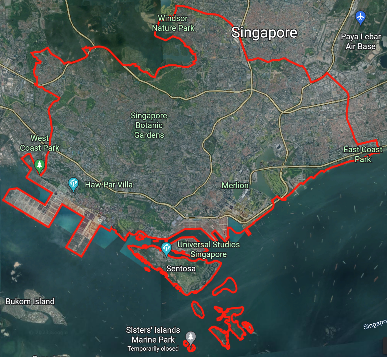
| Area of interest |  |
| DEM | |
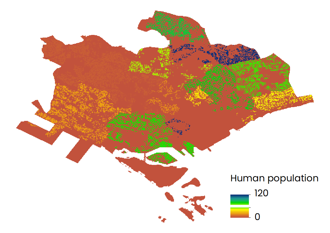
| Human population |  |
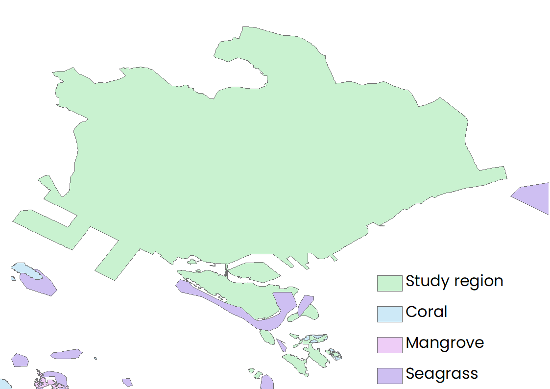
| Existing habitats |  |
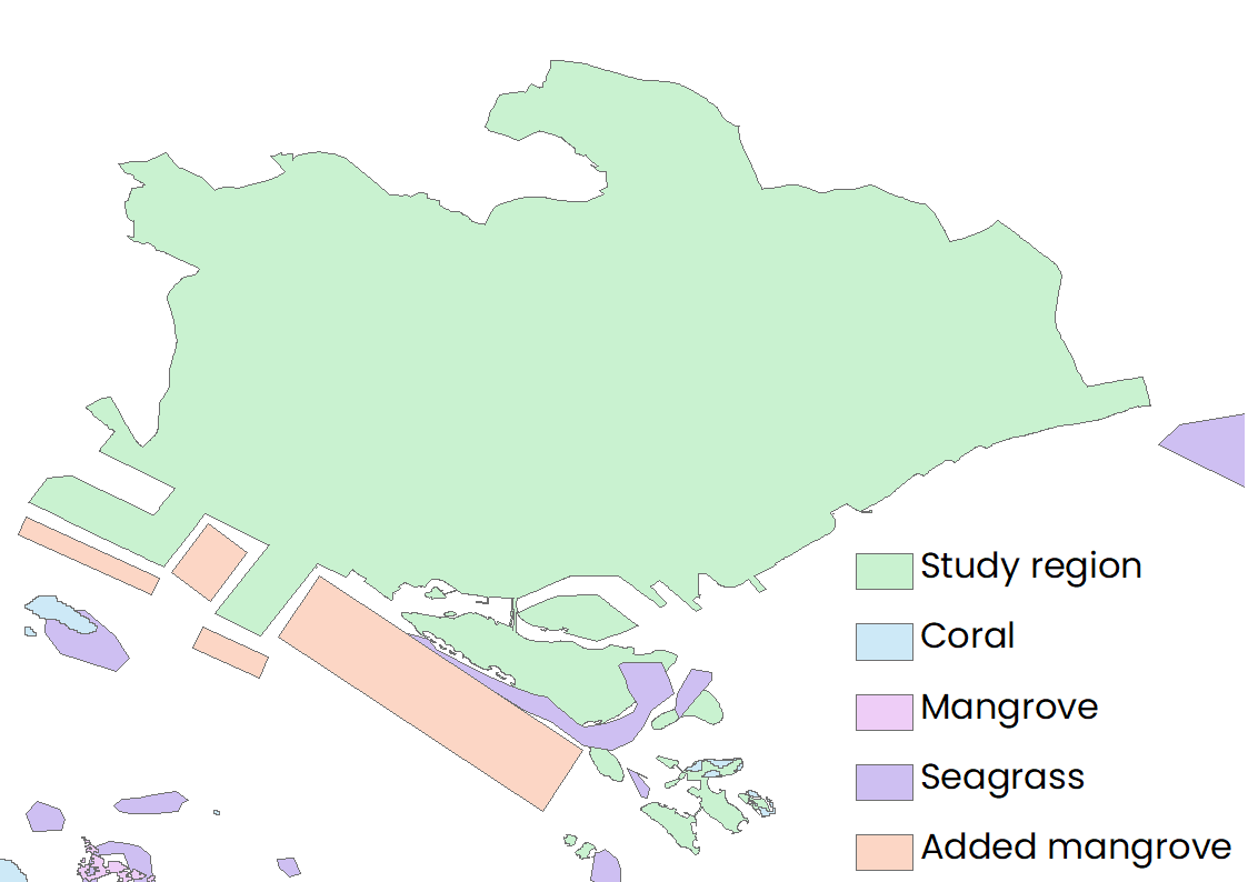
| Existing + New habitats |  |